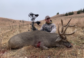
LNKT Inc. has launched the LNKT outdoor safety app, a mobile mapping and location-sharing platform designed for hunters, anglers, hikers, trail runners and others who spend time outdoors. The app combines route planning and mapping tools with automated safety notifications intended to keep selected contacts informed without requiring repeated manual check-ins.
Based in Kearney, Nebraska, LNKT says the app is designed to address a common outdoor concern: making sure family or friends know where someone is, where they are headed and when something changes. Users can share routes and locations, establish geofenced safety areas and configure alerts for arrivals, departures and other conditions.
The app also incorporates offline-oriented tools for areas with limited cellular coverage. If a device loses service or its battery dies, LNKT retains the user’s last known location, providing trusted contacts with a reference point.
Key Details:
- LNKT outdoor safety app: Real-time mapping, location sharing and automated safety alerts for outdoor and everyday use
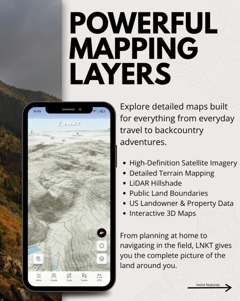
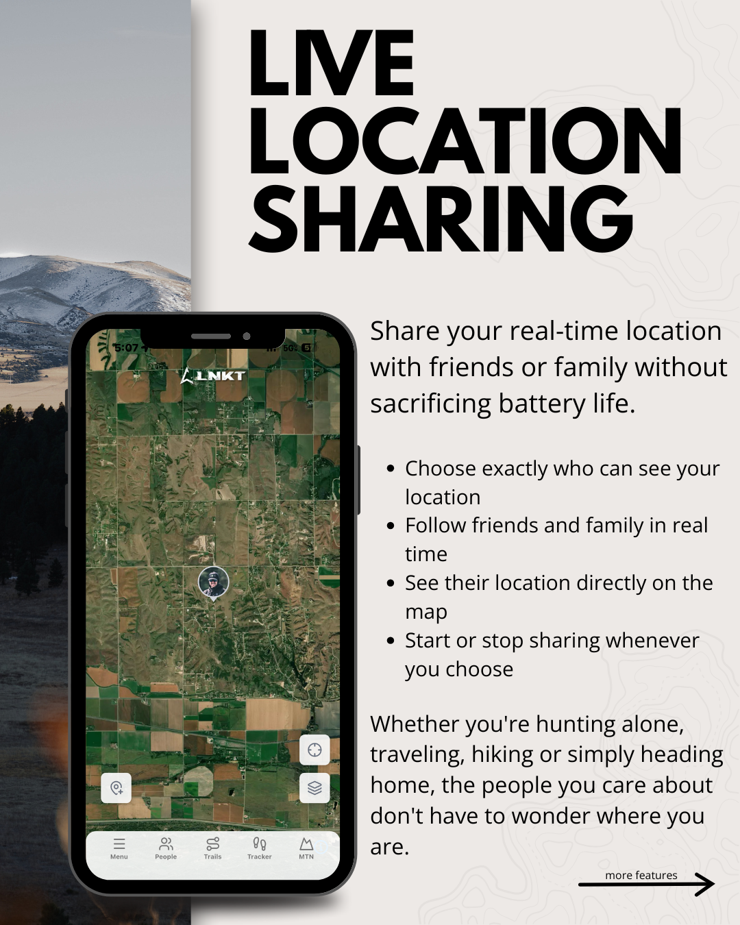
- Live Location Sharing: Users can share their real-time location with selected contacts and switch sharing on or off as needed
- Custom Safety Areas: Adjustable geofences can be established around points or trails to trigger arrival and departure alerts
- Waypoints and Trails: Supports unlimited custom waypoints, freeform trails and imported waypoints from other apps
- Automated Safety Alerts: Can notify contacts about waypoint or trail entry and exit, low battery, prolonged lack of movement and other configured triggers
- Optional Updates: Supports mile-marker updates and check-in reminders
- Group Sharing: Waypoints, trails and safety alerts can be shared with hunting camps, families or other groups
- Last Known Location: Records the last reported position if a phone loses service or shuts down
- MTN Mode: Records waypoints and routes while offline, then syncs information to a selected contact when cellular service becomes available
- Mapping: Includes recent high-definition satellite imagery and optional terrain, street, LiDAR hillshade, public-land boundary and U.S. landowner layers
- 3D Maps: Interactive 3D mapping is available
- Platforms: Android and iOS
- Price: Free download; premium tier is $9.99 per month or $99 per year
- Availability: Available now
LNKT founder Tony Jenniges developed the platform after his father suffered a serious fall from a treestand. Jenniges said knowing his father’s exact location proved critical in directing emergency medical personnel to the scene.
“I built LNKT because my family learned how quickly a normal day outdoors can become an emergency,” said Jenniges, founder of LNKT. “My dad fell from his treestand and was badly injured, and I was the only person who knew exactly where he was and how to get EMTs and the helicopter to him. I’ve replayed that day more times than I can count —what if he couldn’t reach his phone, or I hadn’t known where that treestand was? LNKT was built so another family doesn’t have to face those questions.”
For hunters and other backcountry users, LNKT enters a crowded field of mobile mapping applications but puts particular emphasis on automated communication with people outside the field. Features such as geofenced alerts, last-known-location recording and offline route tracking broaden the app beyond basic navigation.
The same system can also serve less remote applications. LNKT positions the platform for family travel and everyday location awareness in addition to hunting, fishing and hiking.
LNKT is available now for Android and iOS devices. The app is free to download, while the premium tier costs $9.99 per month or $99 annually.